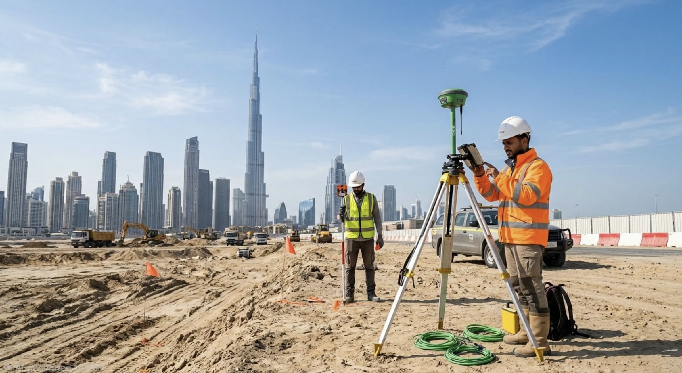
We provide premium-standard topographic survey data and engineering services to ensure your building permits are handled with technical excellence and efficiency — across all seven Emirates.
Al Bosala Surveying and Mapping is a Dubai-registered firm specializing in precision land surveying, topographic mapping, and engineering survey services. We serve government entities, real estate developers, infrastructure contractors, and private clients across all seven Emirates.
Our team of certified surveyors, engineers, and GIS specialists combines modern equipment with deep local knowledge to deliver results that meet UAE Municipality and DLD standards.
Comprehensive surveying and mapping solutions engineered for the UAE's dynamic construction and infrastructure work.
The foundation of the project involves capturing the physical characteristics of the site to provide an accurate digital twin for design purposes.
We combine certified expertise with modern technology to deliver results that meet the highest standards of the UAE engineering sector.
Using the latest GNSS equipment and Total Stations, we achieve survey accuracy that exceeds UAE authority requirements.
Fully registered and approved by Dubai Municipality, DLD, and relevant UAE land authorities across all Emirates.
Efficient workflows and experienced teams ensure your survey deliverables are ready on time, every time.
All deliverables provided in AutoCAD, GIS, and PDF formats compatible with authority submission requirements.
From private developments to large government infrastructure — our surveying expertise serves the UAE's most active sectors.
Reach out for quotations, project inquiries, or general information. Our team responds within one business day.
AL ABER Building 01 - Office C-06, Abu Hail, Dubai, UAE
Monday – Saturday: 8:00 AM – 6:00 PM